halo.bungie.org

They're Random, Baby!

Tips and Tricks

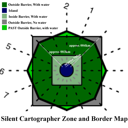
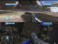
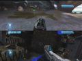
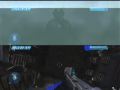
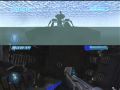
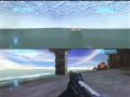
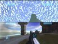
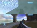
Metafire | Mapping Silent Cartographer

silentmap.jpg
The Gray square is the "ground" level.
The green octagon is the water level.
The white square is inside the invisible barrier.

The pictures below show the mapping process...  look VERY carefully for the green arrow...
cedge19 cedge16 cedge15 cedge14
cedge13 cedge11 cedge10 cedge9
cedge8 cedge7 cedge6 cedge5
cedge4 cedge3 cedge2 cedge
cedge46 cedge41 cedge40 cedge39
cedge38 cedge37 cedge36 cedge35
cedge34 cedge33 cedge32 cedge31
cedge30 cedge29 cedge28 cedge27
cedge26 cedge25 cedge24 cedge23
cedge22 cedge21 cedge45 cedge44
cedge43 cedge42  
So there you have it.  I count four invisible barrier corners, four outer barrier corners, and eight water corners. All of the corners appear to be in line with each other. My approximate guess for the size of the map, from outer corner to outer corner is 8 to 9Km.
-FrogBlast

General "thanks" to xbill (specifically for this trick discussion) and the HBO forum for info on the barrier shape.

Originally announced on the HBO Forum on May 3, 2002.


This page mirrors information on Utfoo.

Pics © Metafire, 2002


Back to Tricks Collection


bungie.org